Bruce by Nextspace brings together the tools and information for resource consenting. It provides access to a selection of default maps, land imagery and terrain data from almost any source or in any format that can be added. And access file menus, two-dimensional objects like building footprints can be extruded to height values, textured 3D models can also be added to create fully data-driven digital twins.
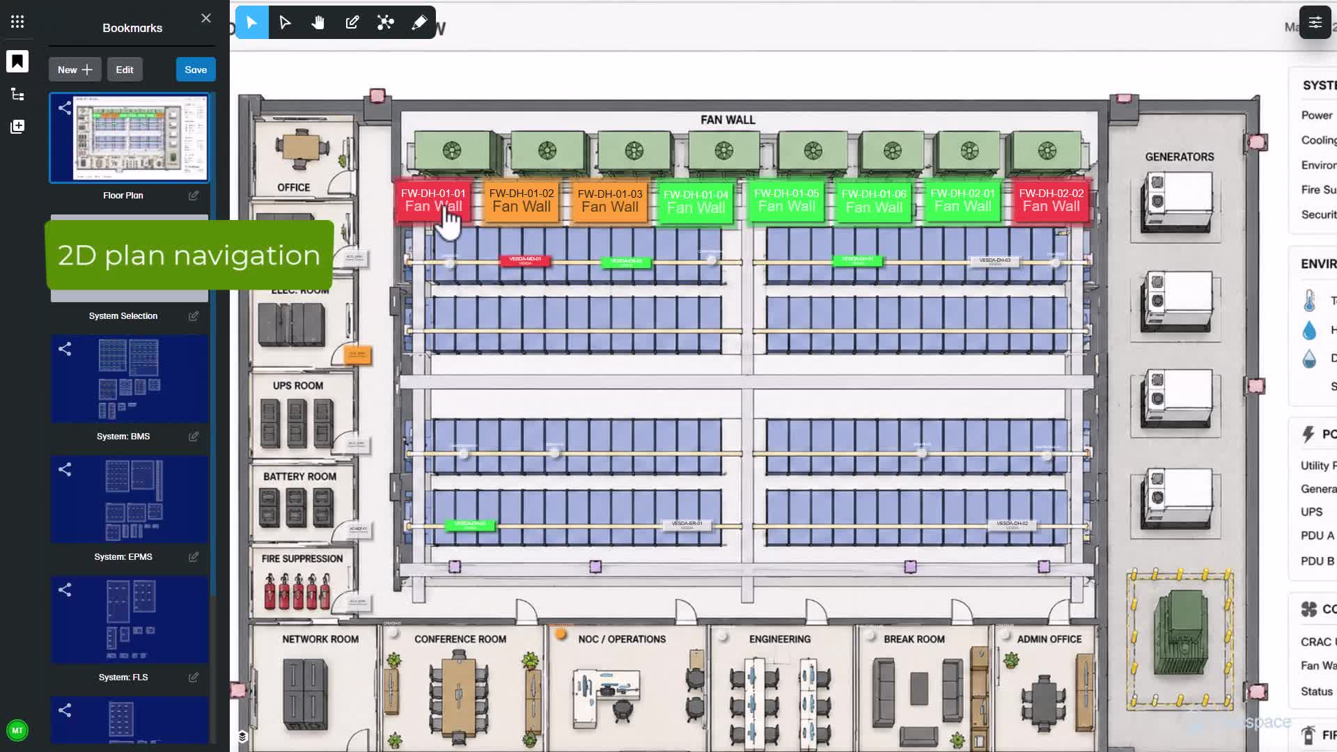
Users control how this data is displayed, and views are saved as bookmarks. The data schema behind objects is available by clicking on them. This data can be edited and media added to be more descriptive. Automated drawing of recession planes can follow default rules where height and recession angles are specified for a defined title or titles, and setbacks drawn.
Alternatively, more specifications can be added for boundary selection types and setbacks. Identified rule breaches can be measured and marked up for explanation, or requests for further information. Steeper terrain can produce more complex geometry within district plan rules. Tools are available to visualize setbacks, calculate site coverage and other building controls. Google Street View can be used to assist evaluation. Separation distances can be measured in three dimensions. Relationships such as common titles and covenants can be represented. Also, building documentation is available to access. Assessing amenity areas is assisted by drawing and measurement tools. Shading studies use timelines and area measurement tools. Applicants' plans are able to be positioned for reference and where available, building models added. Planning elements are inserted from model libraries. These can include planned public amenities such as bus stops, lighting, landscaping or signage. Walkthrough mode helps visualize the planned environments.