The Pūhoi to Warkworth project is the first stage of the Ara Tūhono Pūhoi to Wellsford road.
The NX2 Consortium is responsible for the delivery and maintenance of this 18.5 kilometers of highway. The project involves thousands of individuals with specialist expertise all working on the same project, all with different perspectives and roles—financing, legal, geotechnical analysis, earthworks, engineering, bridge construction and services management— involving paper and computer-aided designs, photos, video, spreadsheets, manuals, specialist readings and different project management systems.
Motorways have been built since Roman times, but projects like this are no longer ‘build-and-walk-away’ contracts where post-build issues become the asset owners’ problem once complete. NX2 is contracted to maintain each aspect of the highway for the next 25 years during the build. Every day brings 18.5 kilometers of heavy construction with ever-changing on-site conditions and hazards. After the build, every day brings 18.5 kilometers of heavy traffic and ever-changing on-site conditions and hazards. A 30-year challenge where data makes a significant difference. A challenge that NX2 has answered by ensuring that the right up-to-date information is available to everyone who needs it, where and when they need it.
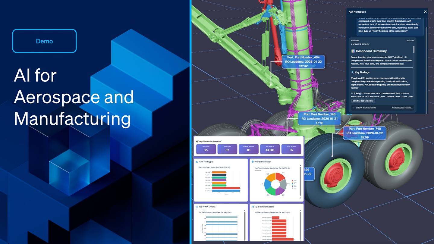
Almost every week, Fletcher Construction fly a photogrammetry drone the length of the project. Nextspace's digital twin platform uses author mosaic and digital surface modeling to convert the drone imagery into a detailed 3D virtual representation of the area flown, as well as this raster data, Nextspace imports and unifies CAD, GIS and BIM information into the same data model records of property and work consents, legal compliance, in-field decisions.
Work and sign-offs are also imported into the same single data model—all precisely geo-located in the resulting digital twin. Nextspace digital twins are cloud-based, so no software needs to be installed or managed. This also means new data is available to everyone working on the motorway, and remotely. Free user access is controlled with military-grade security permission standards and sharing is as easy as sending a bookmark to approved viewers. What looks like a computer animation created by animators is nothing but data, as data it is precise, rich and readable by machines. As a visualization, it is easily understood by people. Each element is capable of holding multiple layers of data—millimeters underground, inside assets, designs, earthworks, in-field photos and videos of builds. Detailed records on the composition of any build surface, underlying utilities or soil structure.
The digital twin can import IoT sensor readings, weather and sun tracking at any location. Data can be visualized from almost any source, including work orders, safety reports, spreadsheets, sensors, and in-field commentary. Volumetric information like the total capacity of this holding pond can be clearly visualized, so it is instantly understood. Attribute displays like the log entries for this one specific orga hole can be attached to its exact position because this information is different to that for the orga hole 50 meters away. The digital twin can be used to instruct those in the field, placing work orders, instructions, symbols and icons in the model. These are easily changed, added, and accurately positioned as the Nextspace surface model is created from detailed photogrammetry, drone data, point length, angle and area tools are all available.
Gradients, sections, contours and slope analysis can be measured and visualized in multiple ways. GIS data such as land parcels, locations and utilities data can be added and overlaid on the 3D model. Records of consent and parcel ownership can be visually accessed. Once the motorway is built, 25 years of maintenance begins. Information collected during the build can be accessed in the field by teams that never worked on that build.
Unseen assets can be accurately located, viewed and interrogated, including detailed depths, soil composition, and changes from intended plans to what was actually built. Every asset is given a globally unique identifier—this connects scheduled maintenance of a specific stem adapter with a specific valve at a precise location and depth for the lifetime of the asset. IoT sensor or SCADA readings can form a dynamic aspect of the digital twin.
Detailed repair videos can be available to maintenance crews, on call on site 24/7. Other Nextspace technologies also feed data into Nextspace digital twins. A relevant one to the Pūhoi project is Ed: Nextspace's colloquially designated entity detection artificial intelligence, which recognizes and catalogues motorway signage at the speed of a travelling motorist.
A critical part of post-build asset maintenance, project management, Nextspace is affordable for any project or organization. It helps teams work better together, saves money, reduces worksite risk and unlocks previously unrealized value.