This showcase video presents an airport digital twin bringing together BIM, geospatial data, 3D models, documents, schematics, leasing information, and operational data into a connected, searchable environment.
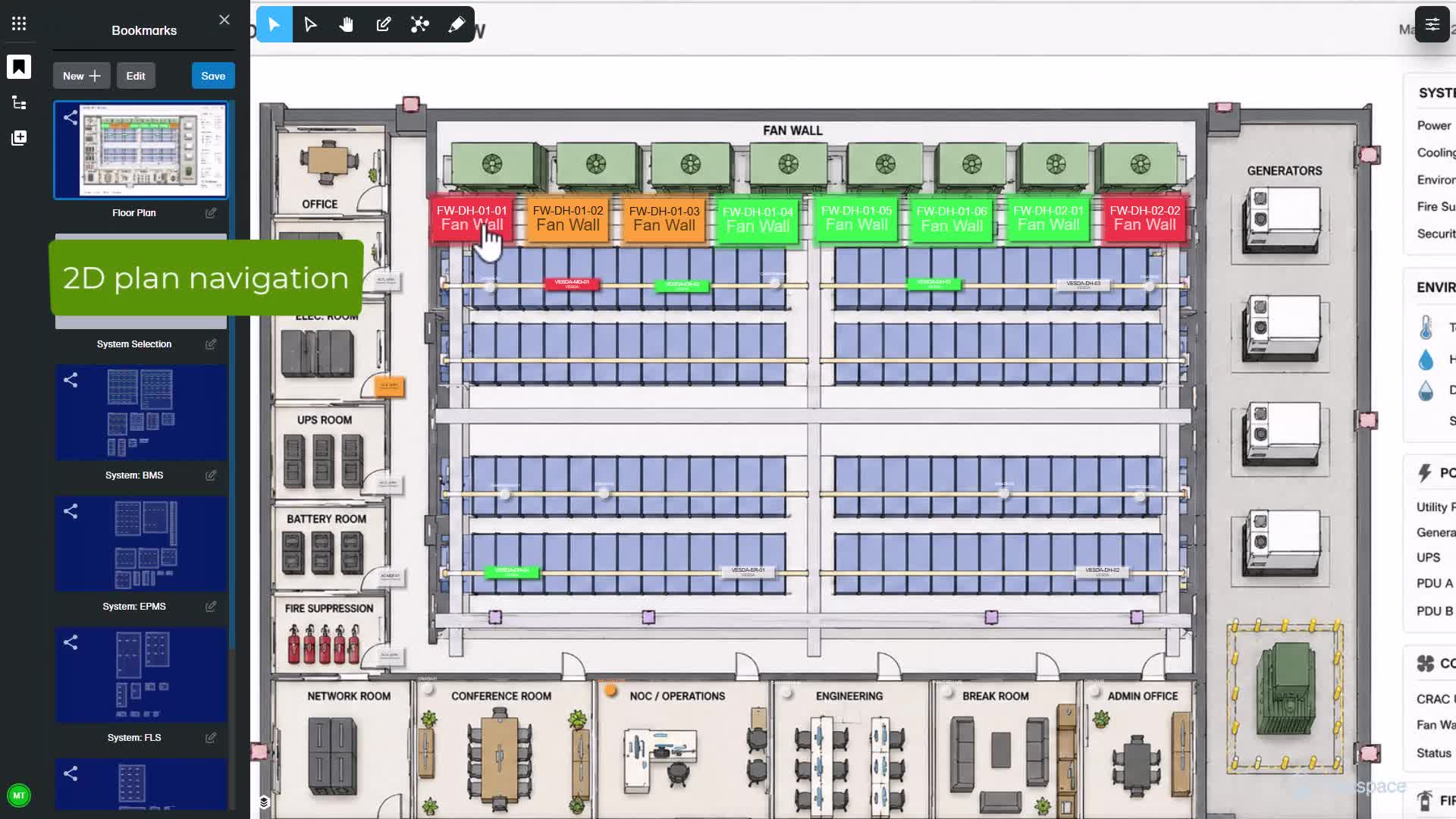
See how Nextspace Alarms and Monitoring connects live alarm events with asset and spatial context to help operators move faster from detection to understanding.
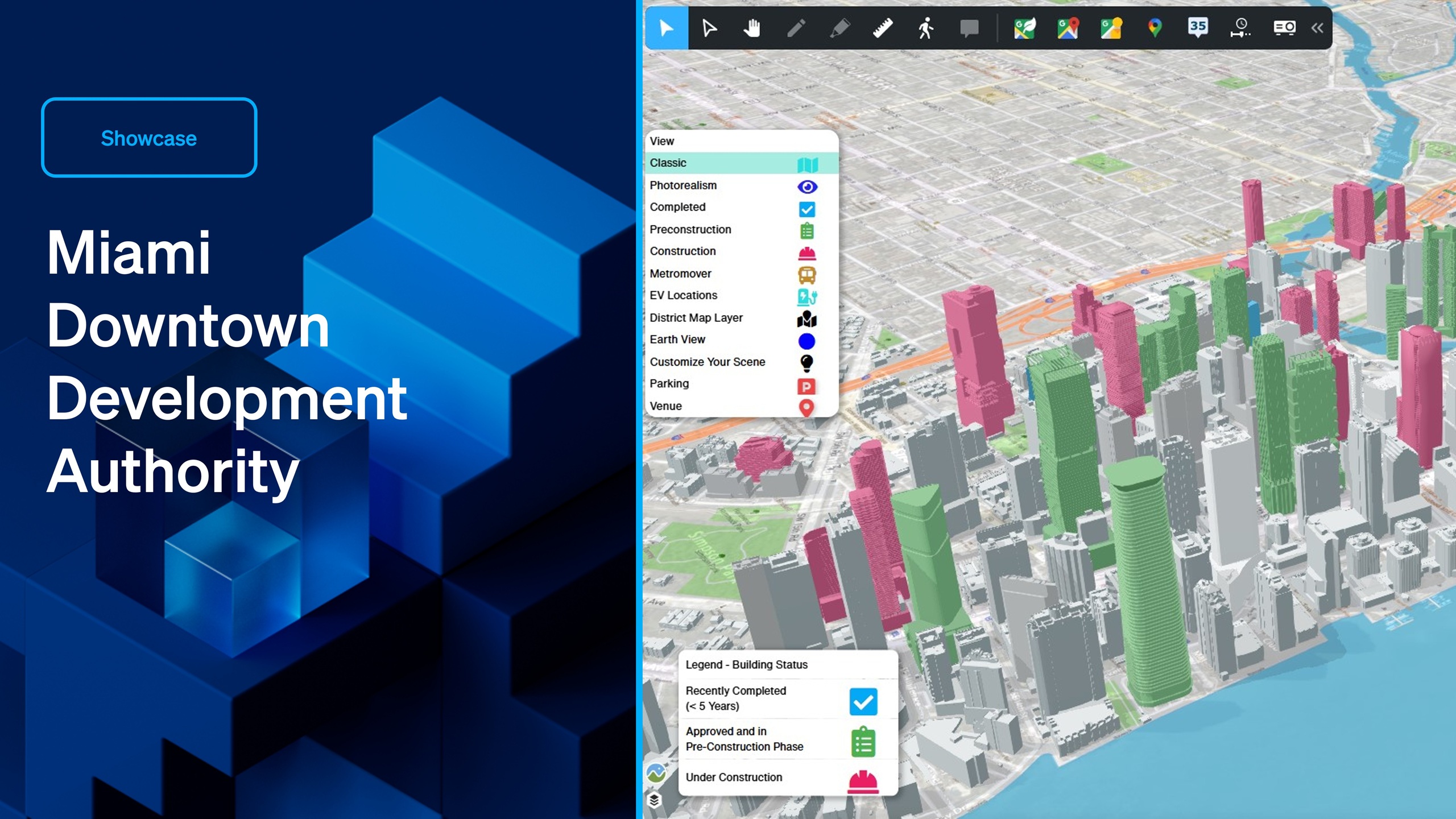
This open-platform digital twin offers a real-time, interactive visualization of Downtown Miami's urban landscape, enabling stakeholders to explore existing buildings, track projects under construction, and gain insights into upcoming developments in the pipeline.